In 1947, Taiwan & China drew the famous "cow tongue" (aka nine dotted line) to claim all the Islands in the South China Sea all the way to Philippine and Indonesia.
These islands (atolls) are also claimed by Vietnam, the Philippines, Brunei, Indonesia, and Malaysia.
This bold overlapping exercise of powers with territorial map on an international scale made me rethink the concept of measuring.
I find that exciting when the real distances of things being measured are not necessarily reflected scientifically or lawfully — especially when influenced by desires, beliefs and national needs.
I think about what one did when one was a child. One would measure things around them with outstretched fingers: the first act of almost pure measuring.
Presented in the order created from 2013 till now
The Real Distances of Things Being Measured
The New Conqueror with a Good Passport — 5 Parts / 5 Continents
Digital Body Print — Even the Mightiest Needs Good Reason to Do Bad
Cartography 101: Creating the Next Freaking World Order
Time Boomerang Sound
Can We Measure Hatred? — 200 Country Weapon Installation
100 New Sculpture-Island-Hands
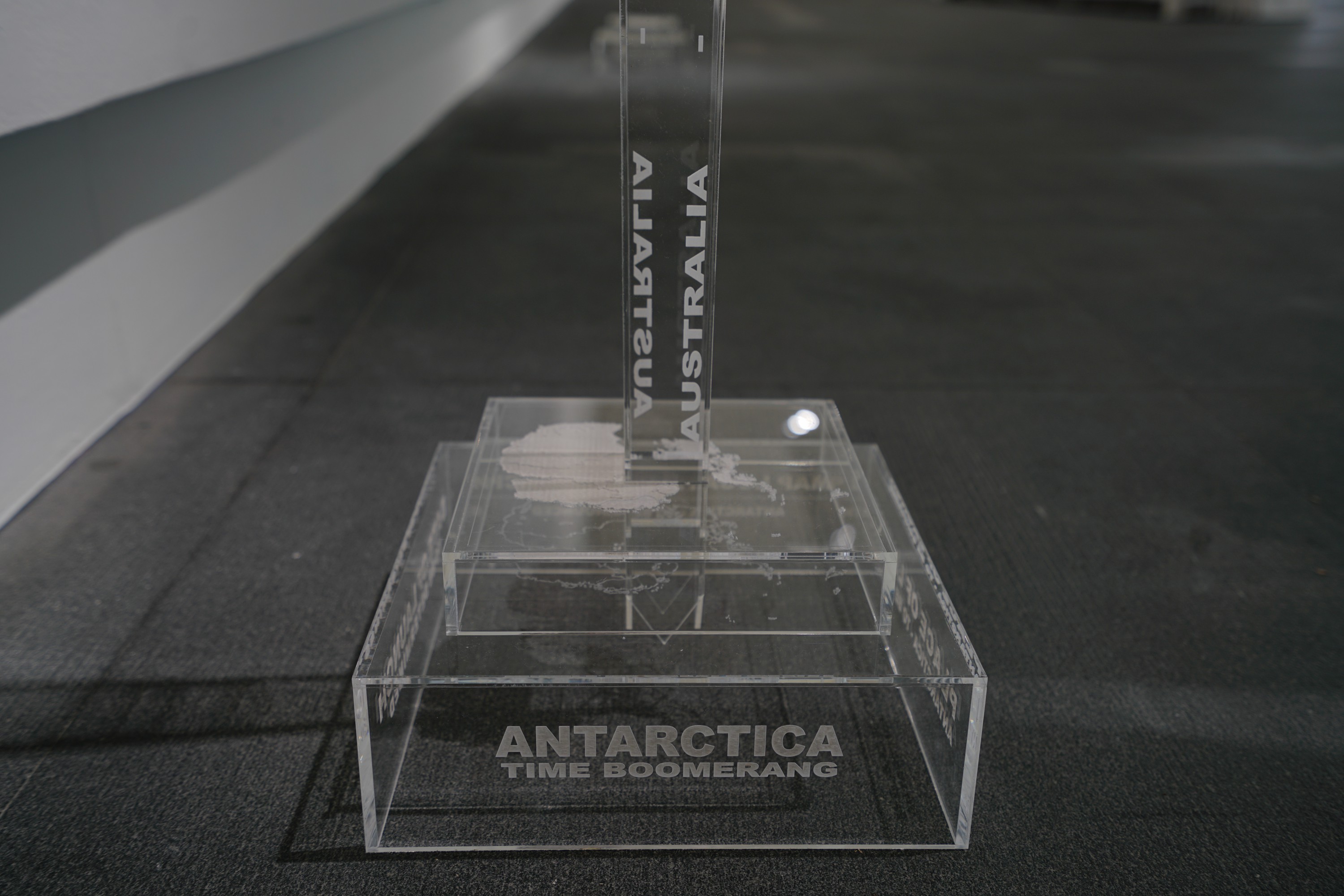
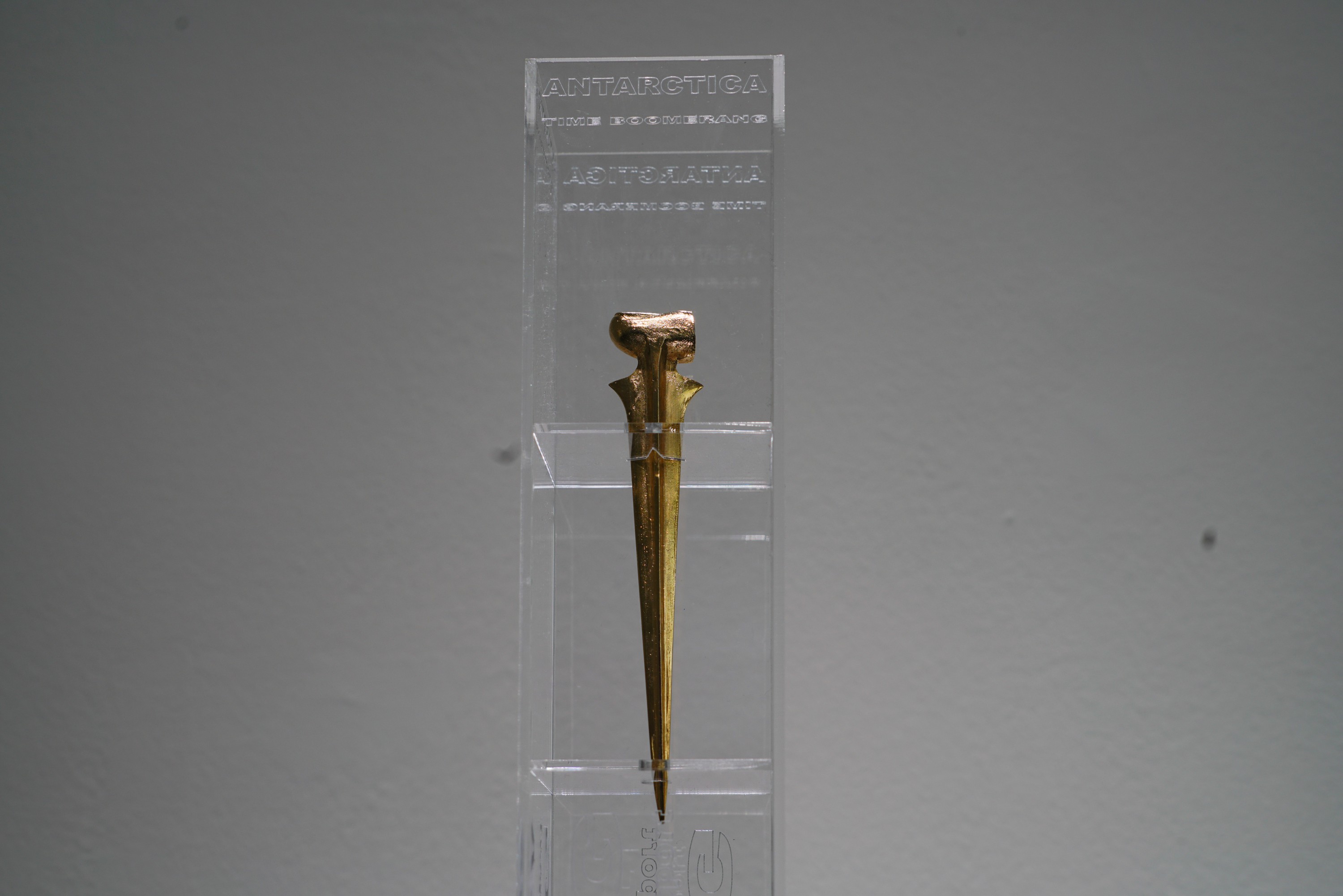
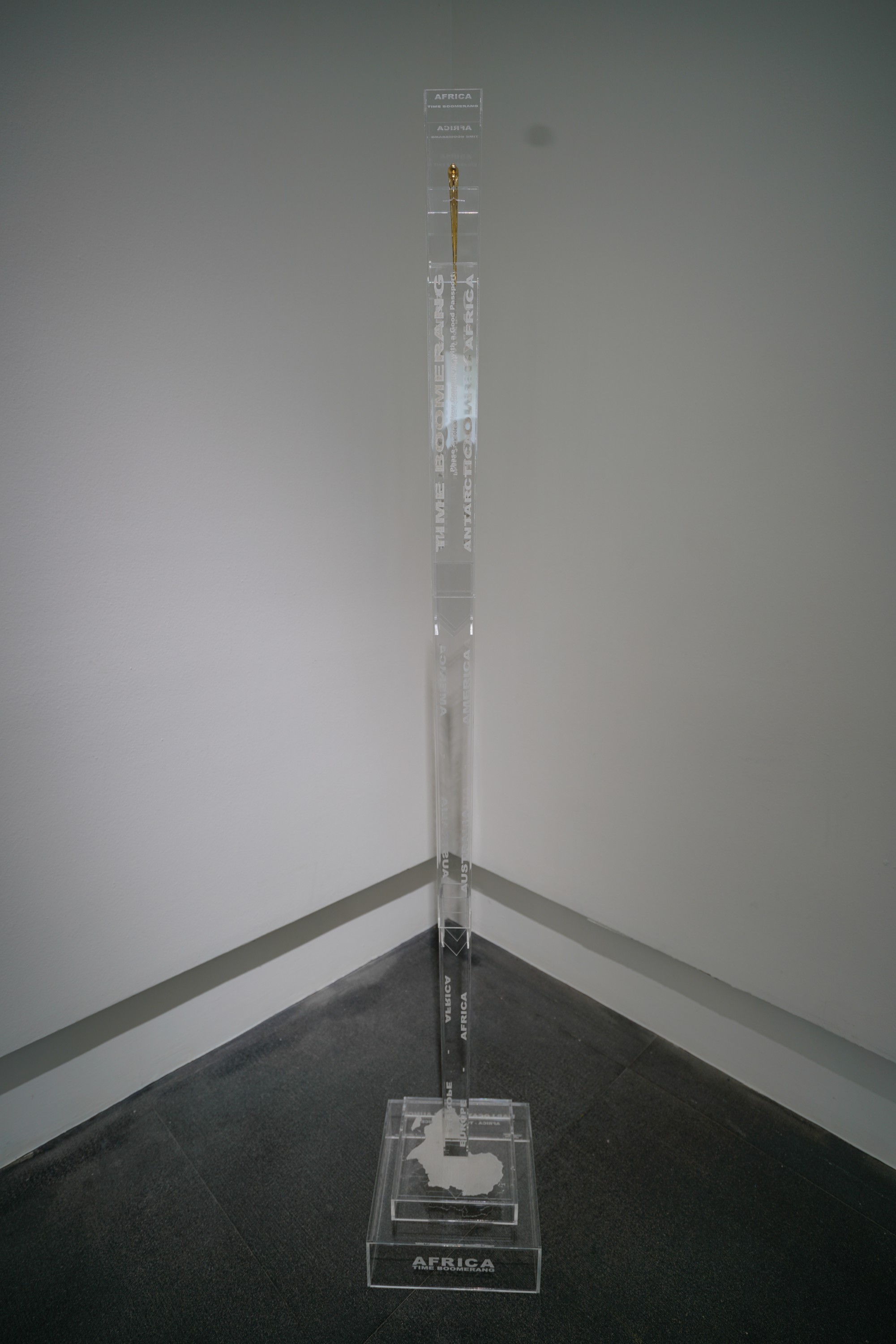
Time Boomerang Next — Africa & Antarctica Editions
Phase #1
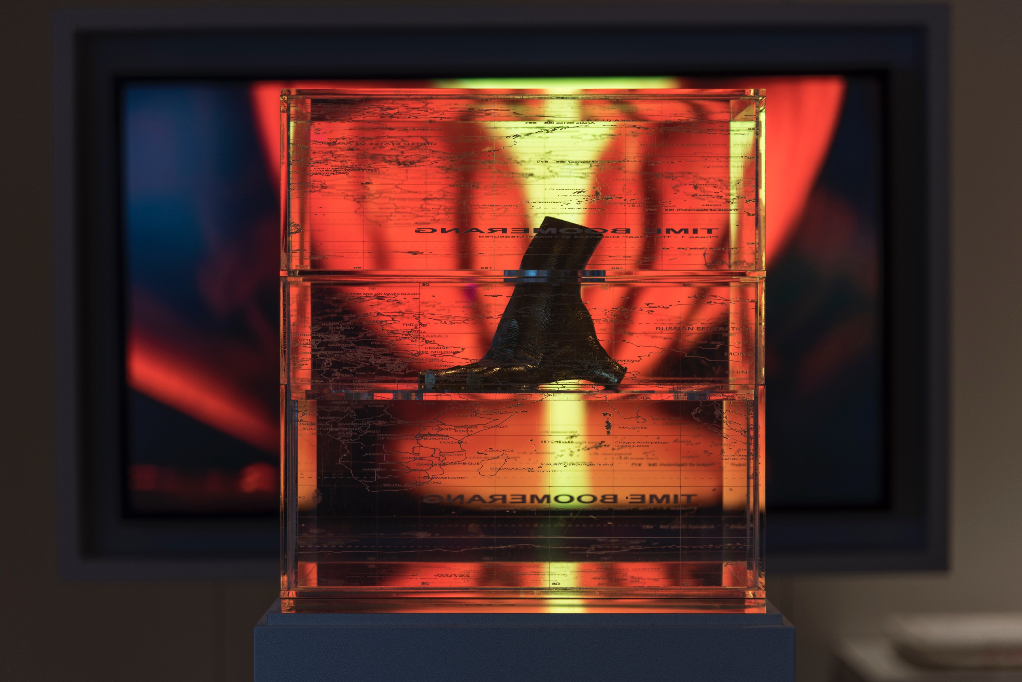
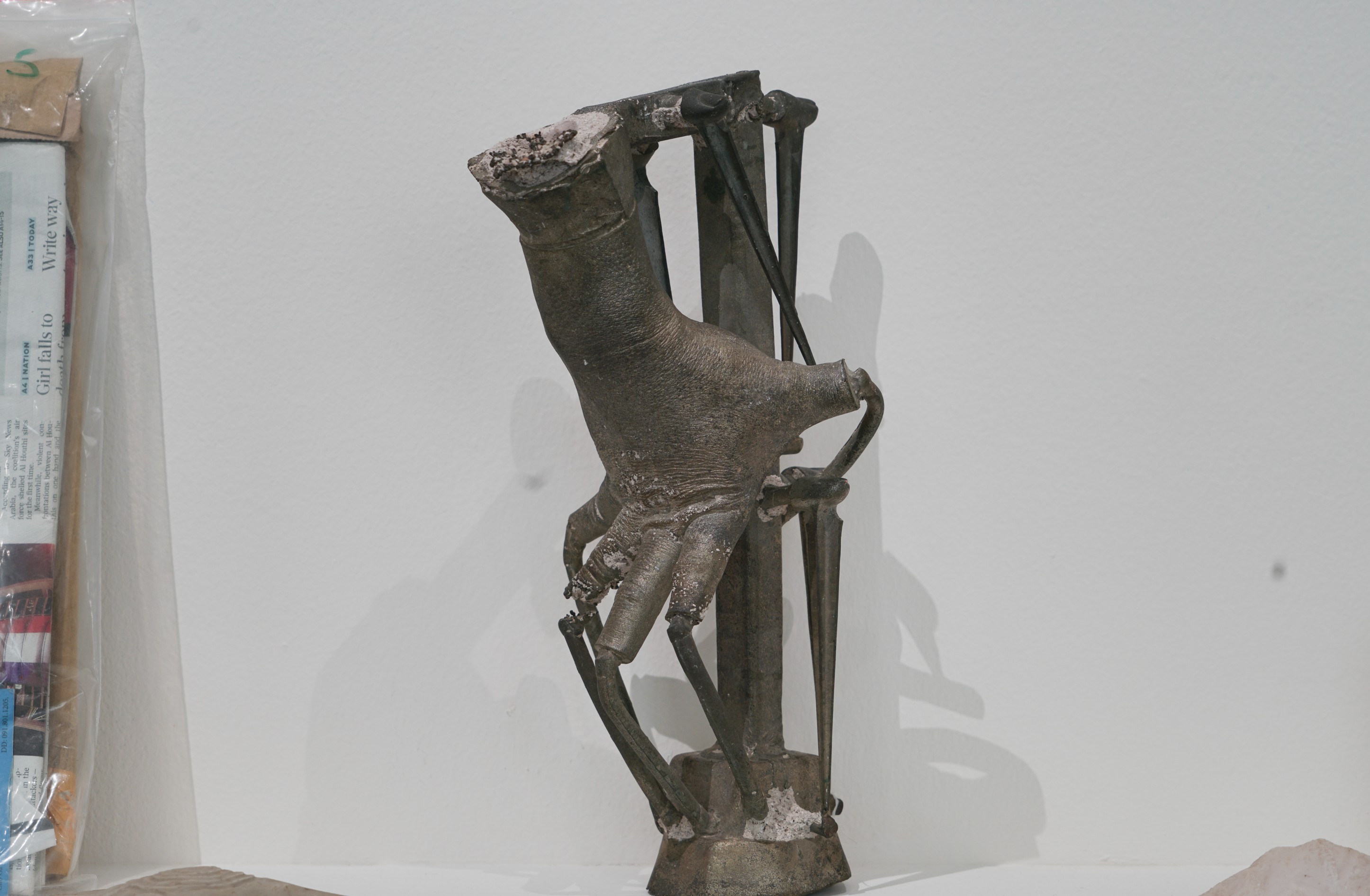
That's when I created the first sculpture for Phase #1 of "Time Boomerang". I cast my hand, with fingers fully outstretched in my childhood measuring gesture, in metal.
Once completed, I cut off the five fingertips and moved them away from the hand, symbolically extending my ability to measure — or mark — new territories. These five places could be five corners of a museum, a university campus, a country, a continent, five continents of the Earth, five places in a Galaxy, or five separate Galaxies and so on.
With "Time Boomerang", I wish to elevate a regional conflict onto a vast context of time and space where mediated dialogues can take place without impassioned fistfights based on heated patriotism. Over a period of several years, I had and have continued to launch the five fingertips in five oceans corresponding to five different continents.
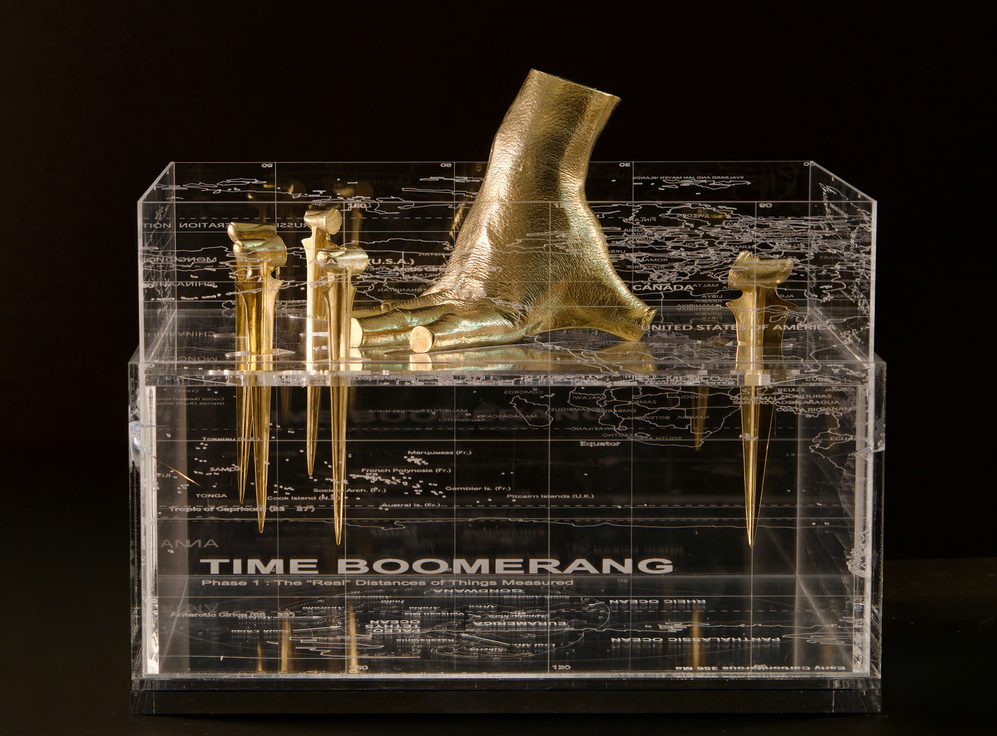
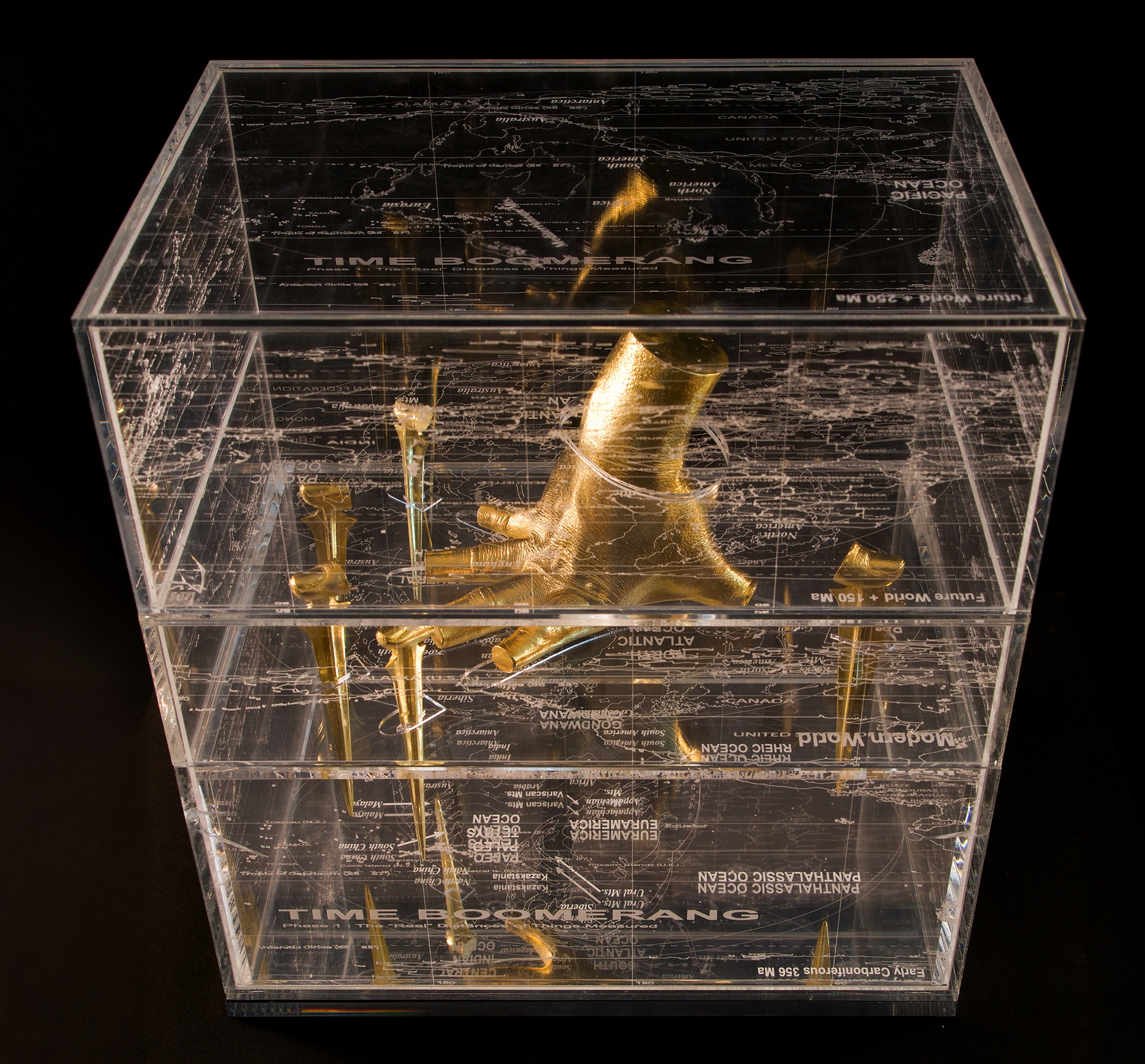
My handcast and its five fingertips, presented in a plexiglass box. The hand is touching the Earth map of the present (2026), the wrist punctured the Earth map of 150 million years into the future. The top map is 250 million years into the future and the bottom is 650 million years ago.
Phase #2
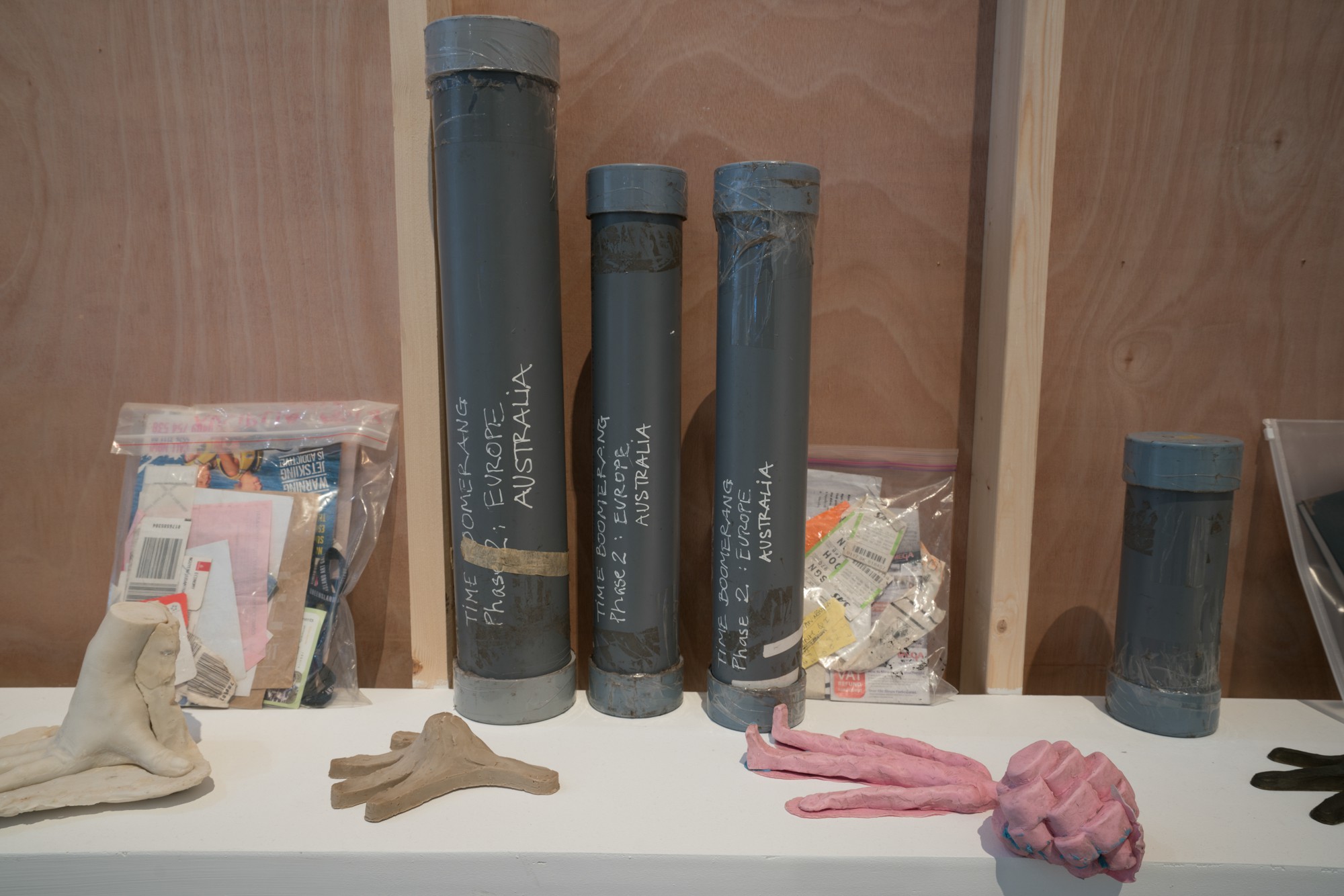
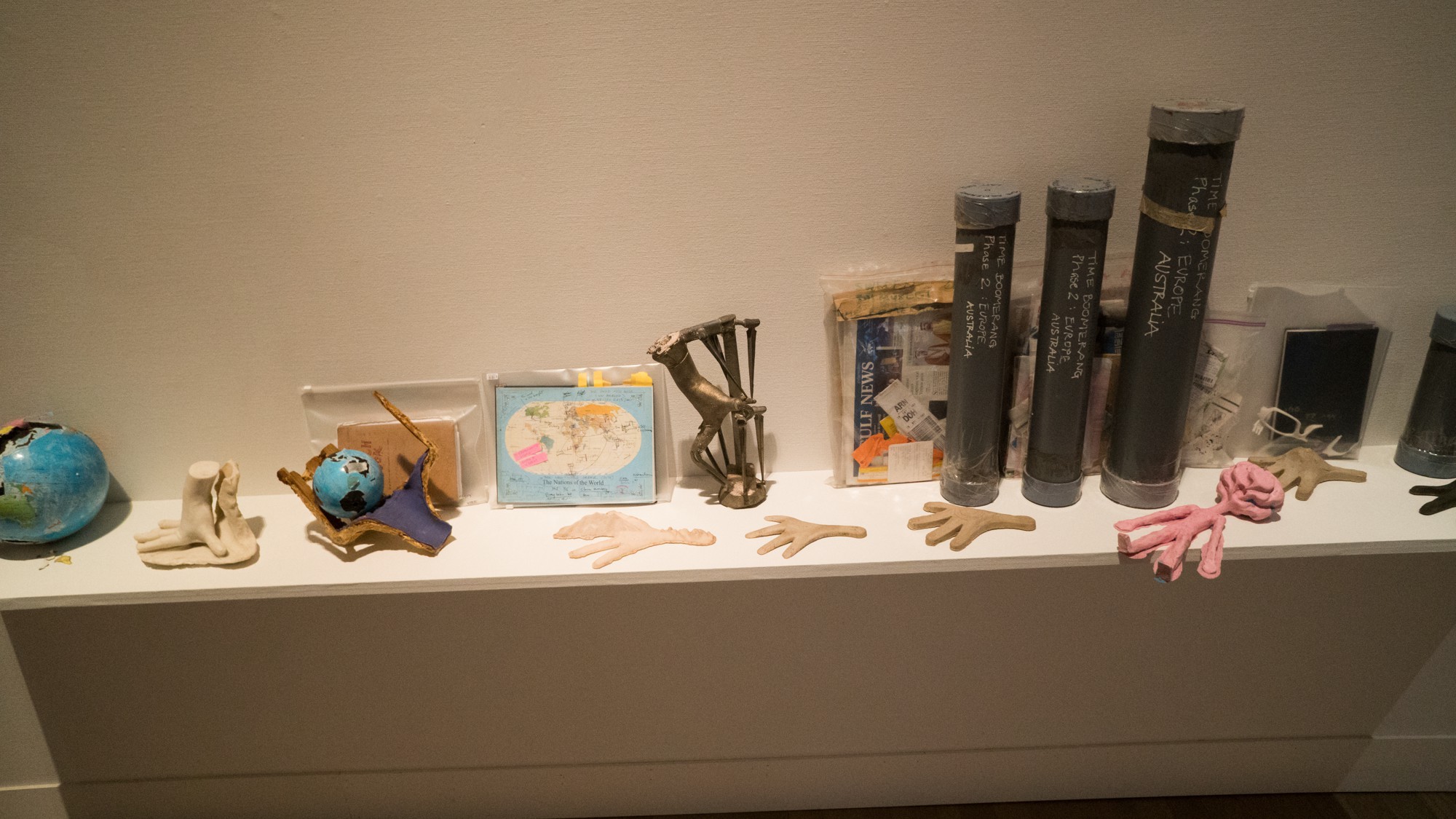
In Phase #2, I set out to launching my five fingertips into the 5 corresponding oceans of Earth's five continents — hence 5 Parts.
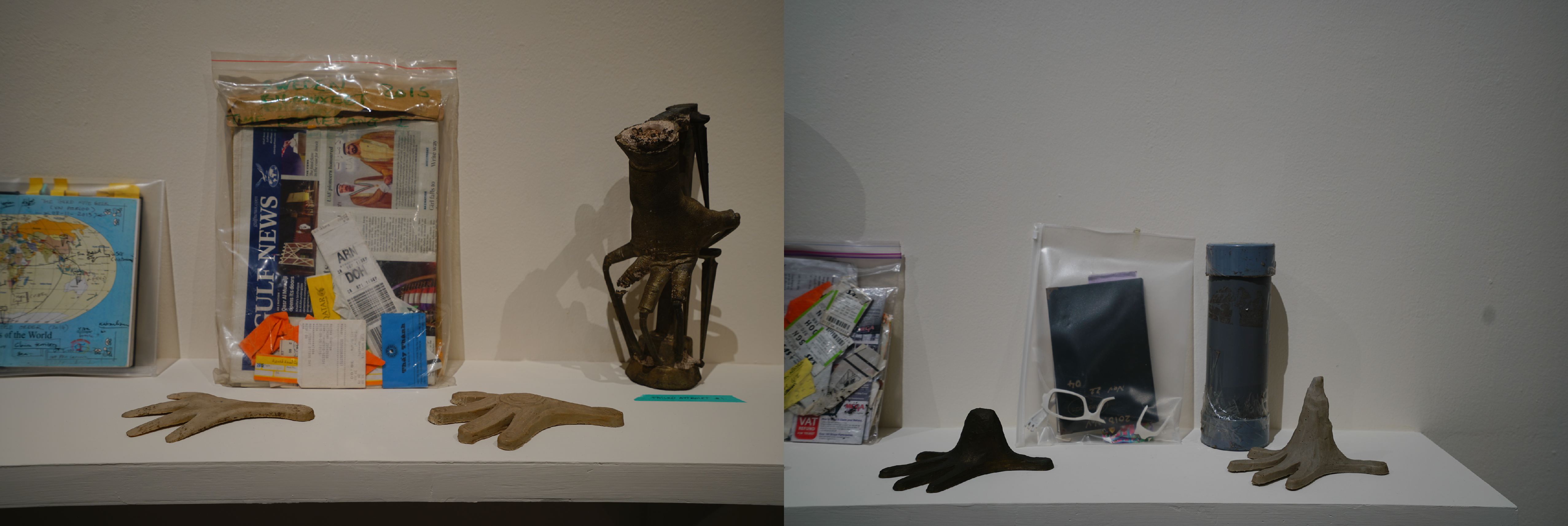
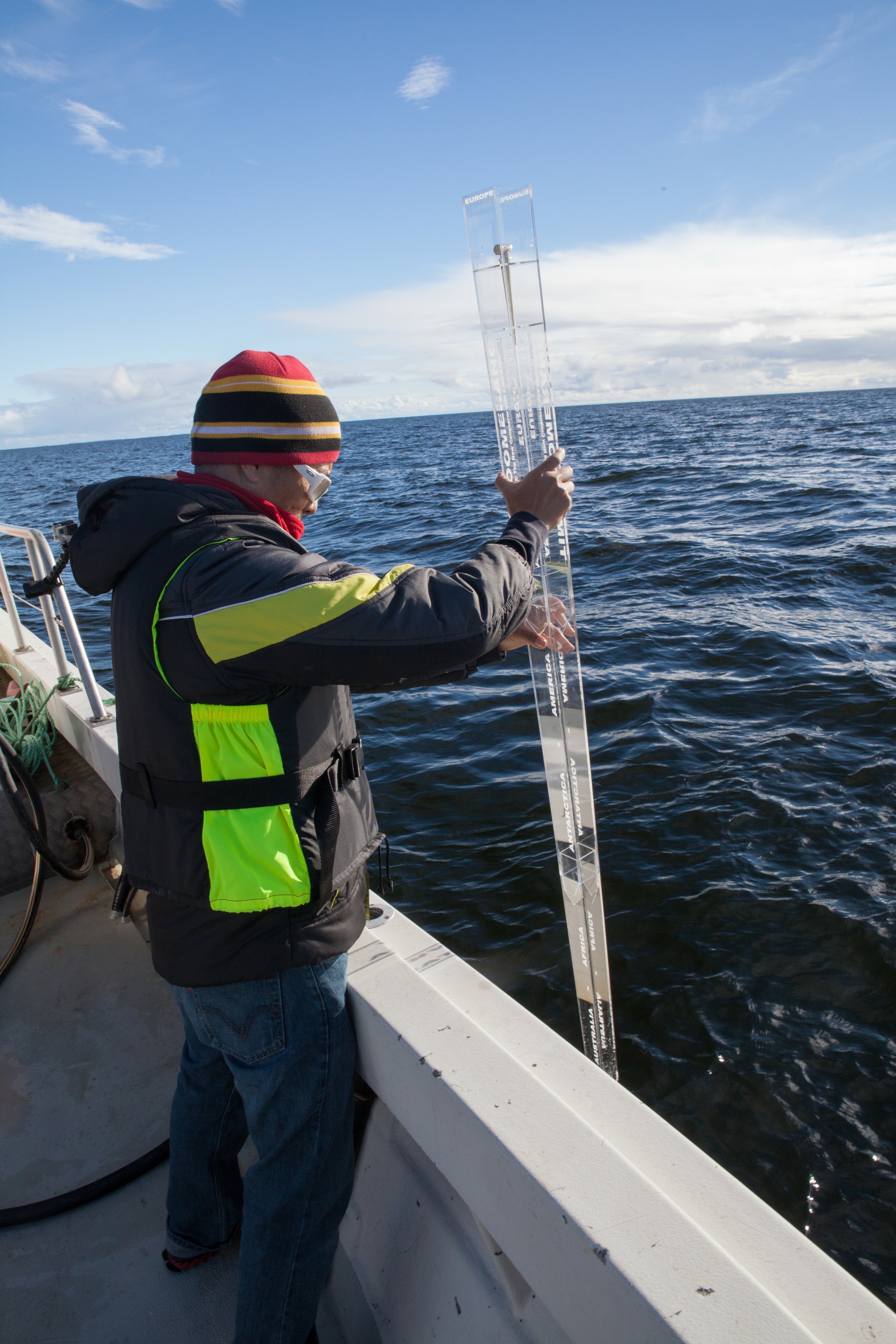
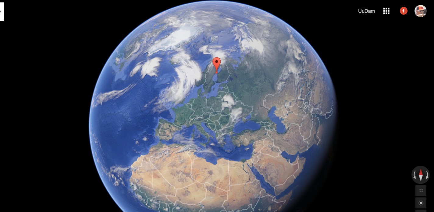
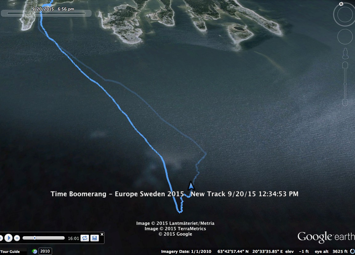
On the 22nd of September 2015, I traveled from Viet Nam to Sweden to launch the first of the five fingertips into the Gulf of Bothnia. This performance happened during "Time Boomerang"'s Phase #1 was exhibiting at Bildmuseet Museum. The European performance is the first of 5 parts of Phase #2 in the "Miền Méo Miệng" exhibition.
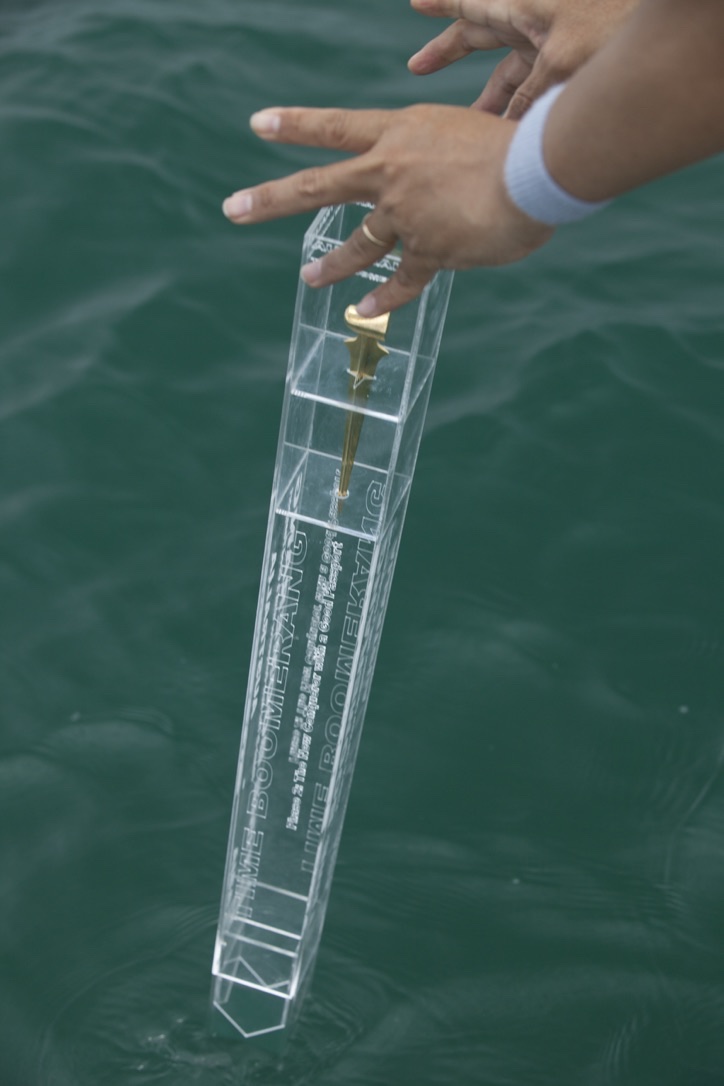
Launching the 1st fingertip into the Gulf of Bothnia. (Photo – Polly Yassin)
Recorded GPS map traveling to dropping Europe zone.
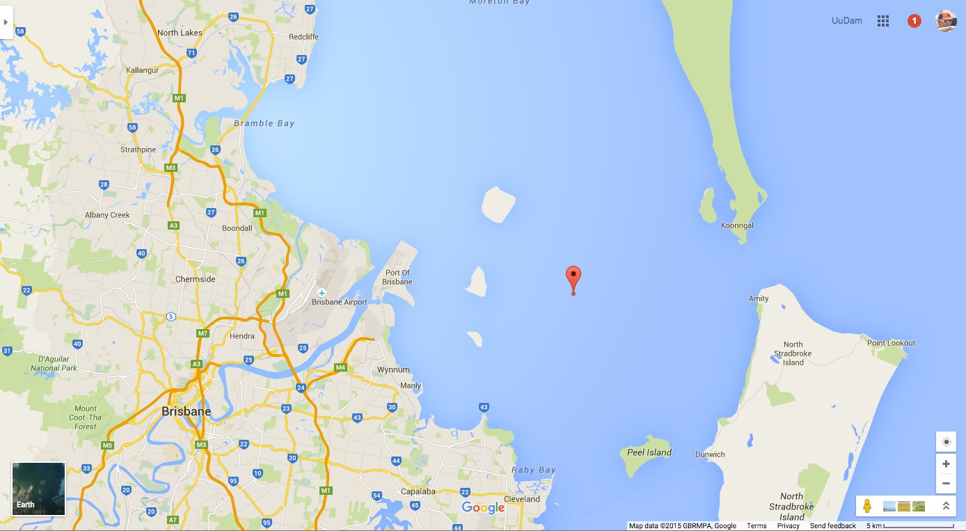
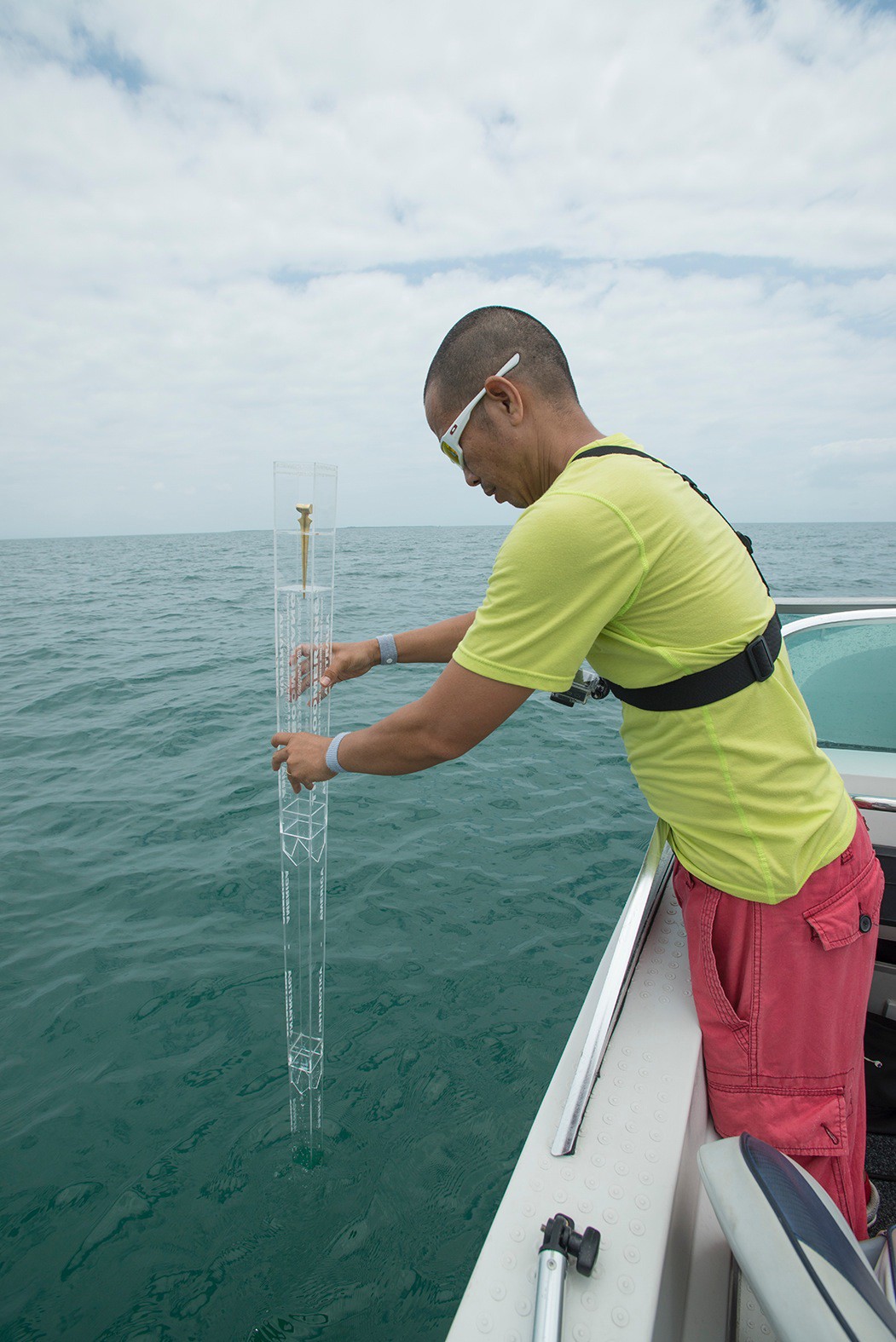
The second fingertip was launched into the Moreton Bay in Brisbane, Australia. I traveled to Brisbane to participate in the 8th Asia Pacific Triennial and carry out my own performance of the TIME BOOMERANG in the open water of Moreton Bay.
It was canceled twice due to bad weather until we successfully did it in the morning of November 29th, 2015.
27°23'42.42" S
153°18'15.38" E


Location map of Moreton Bay, Brisbane, Australia. 8th Asia Pacific Triennial, 2015.
Phase #2 · Part 3 of 5
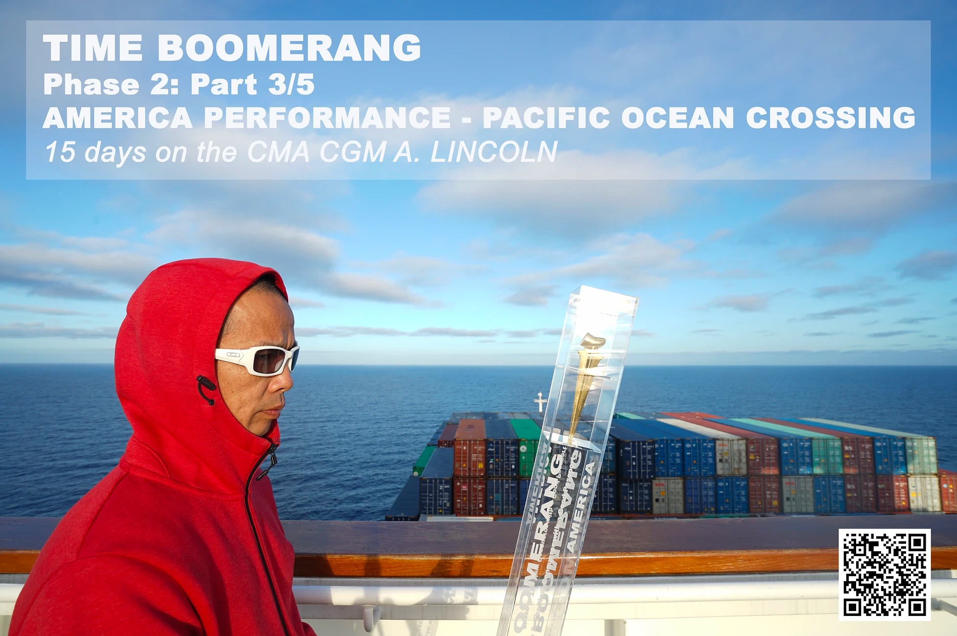
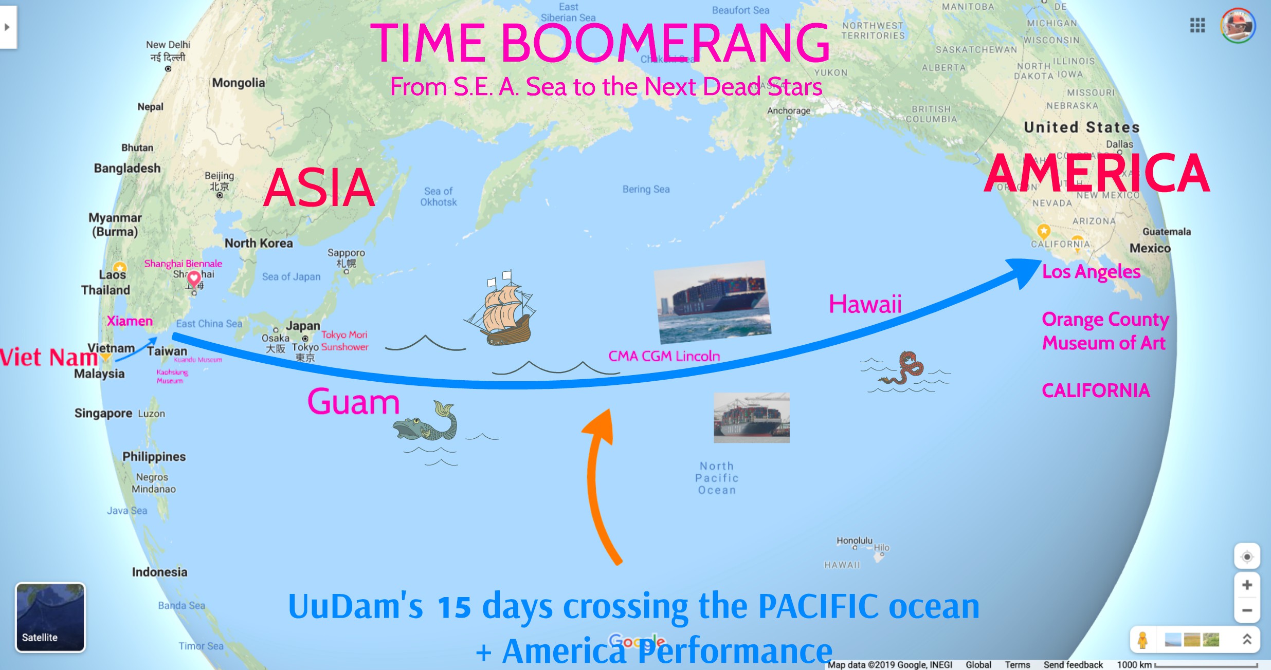
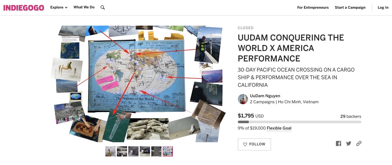
Unlike the last 2 trips to Europe & Australia by airplanes, Part 3 opened with my trip from Vietnam to America by a freighter ship.
"I would like to understand sea commerce & the feeling of past conquerors who approach new continents by boat after long voyage at sea."
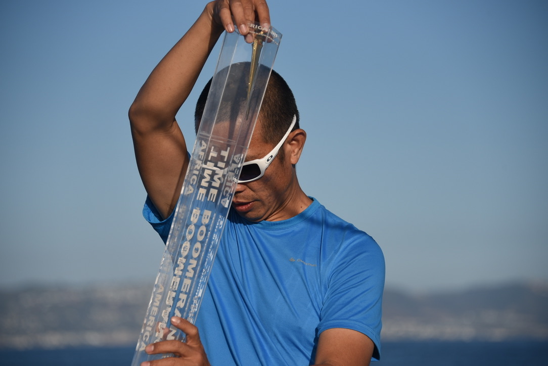
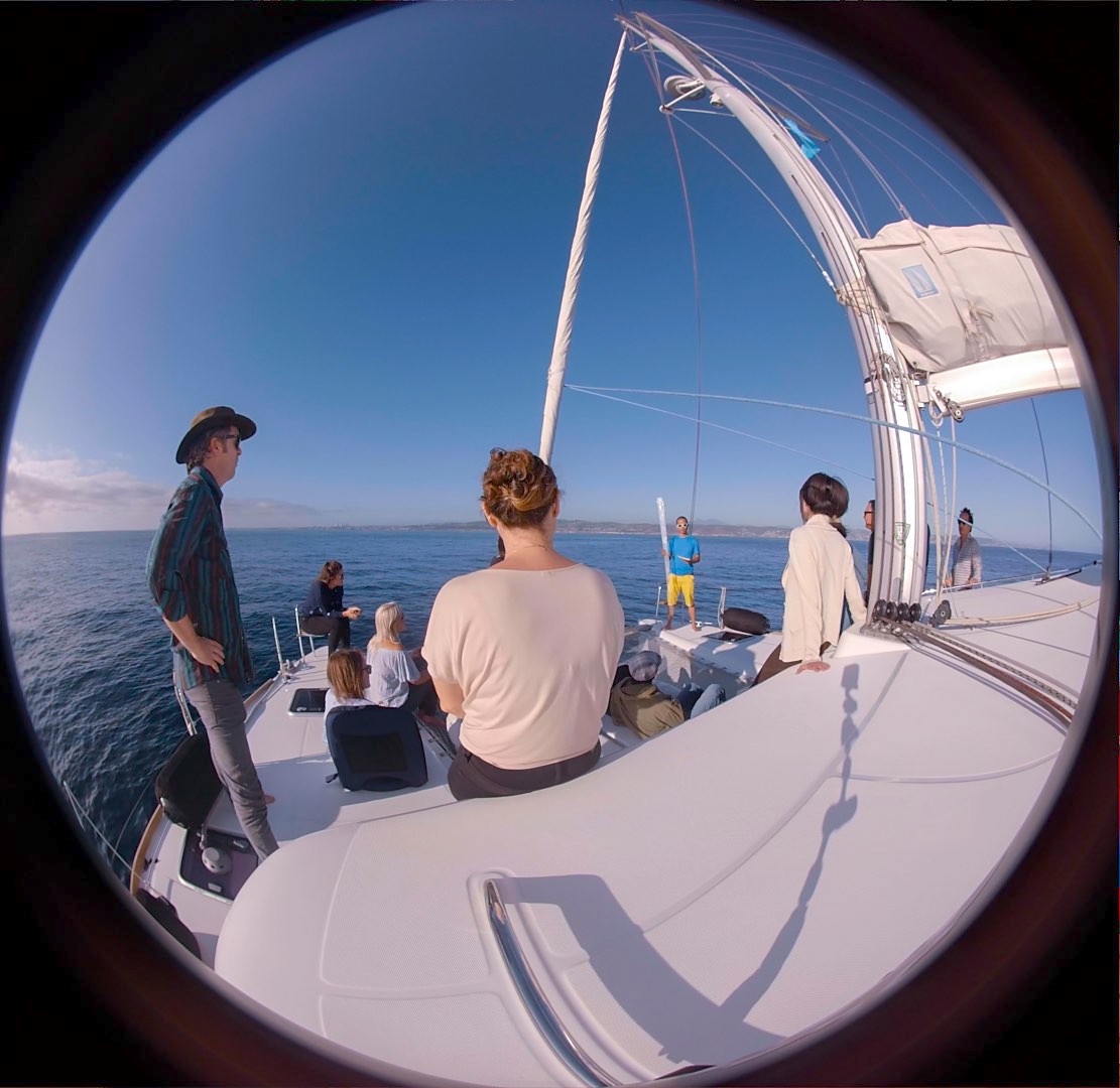
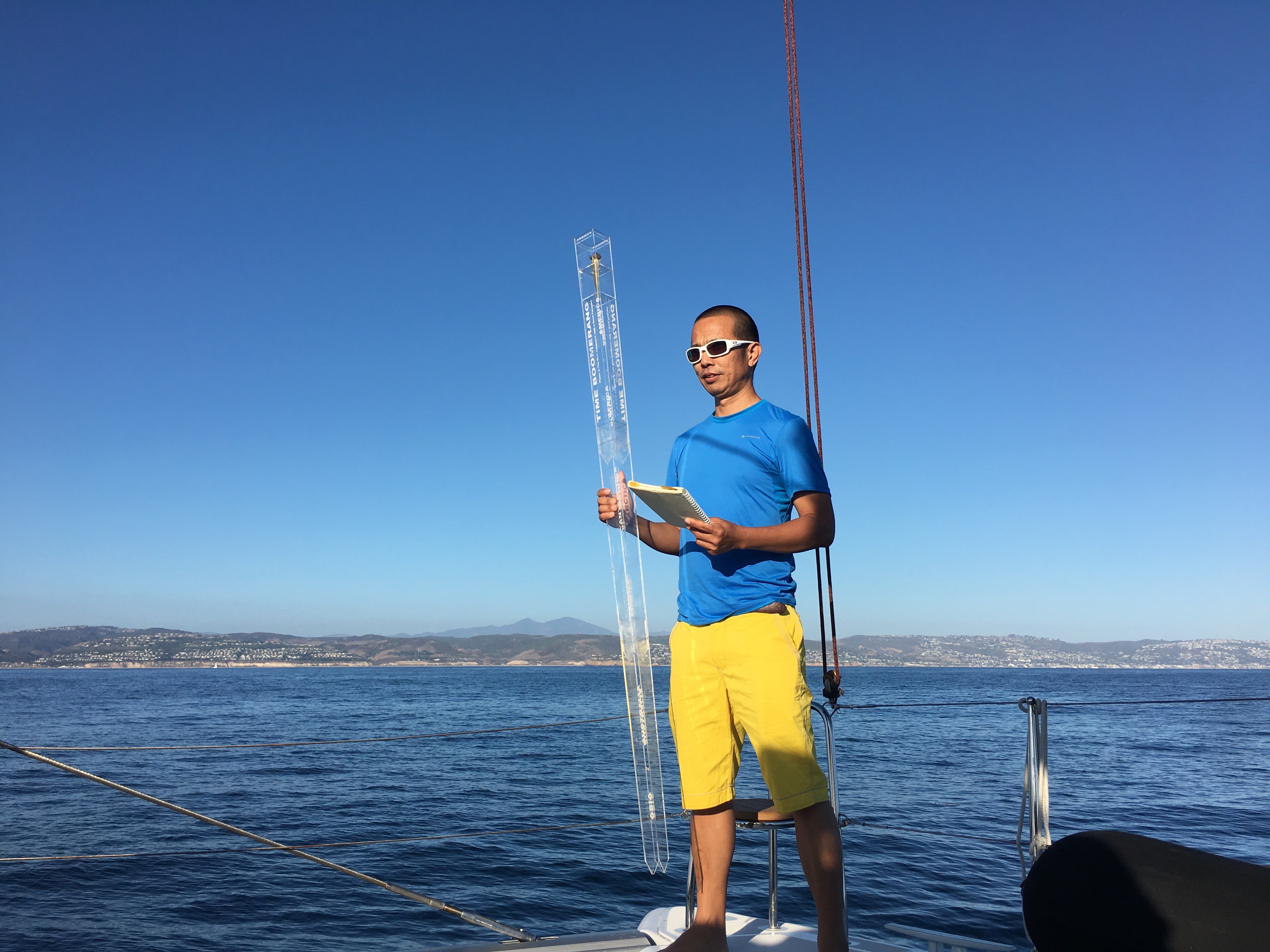
On the 17th of Sept 2019, I took the SongBird catamaran from Balboa Yacht Club and set out to launch the 3rd fingertip into the Gulf of Santa Catalina of California.
Around 3:49PM local time, I officially "conquered" the Americas.
33.52674° N, 117.87788° W
The 17th of Sept 2019 is the New Independence Day & Thanksgiving Day


Conquering the Americas — Gulf of Santa Catalina, California. September 17, 2019.

Phase #3

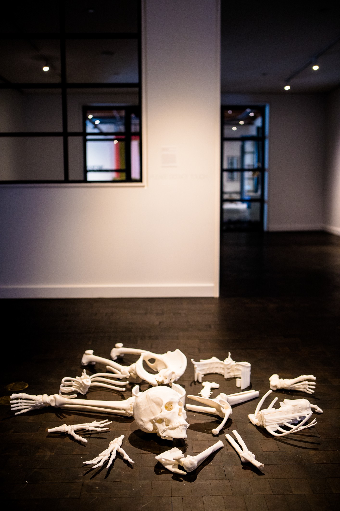
Installation at Orange County Museum of Art (USA)
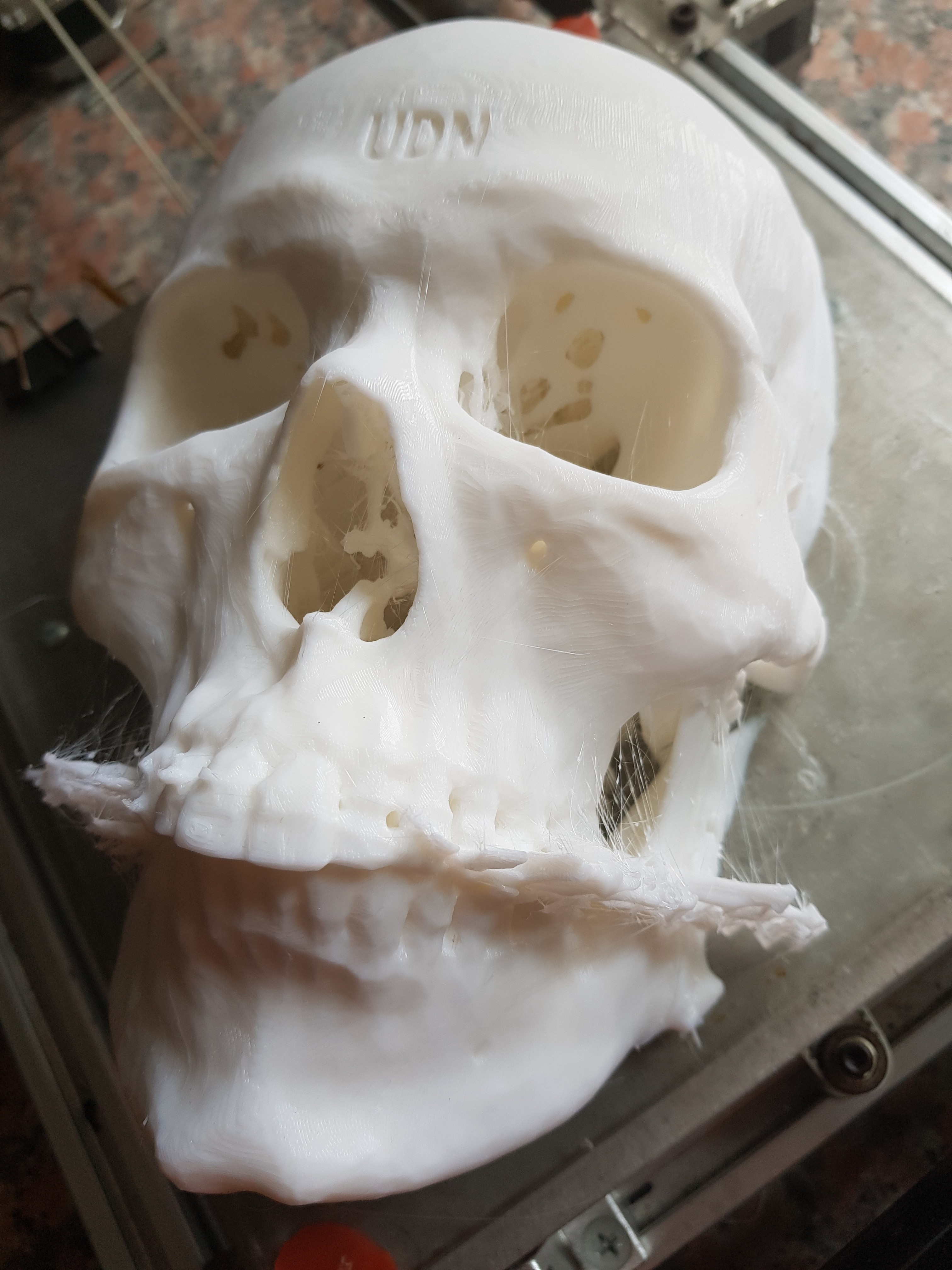
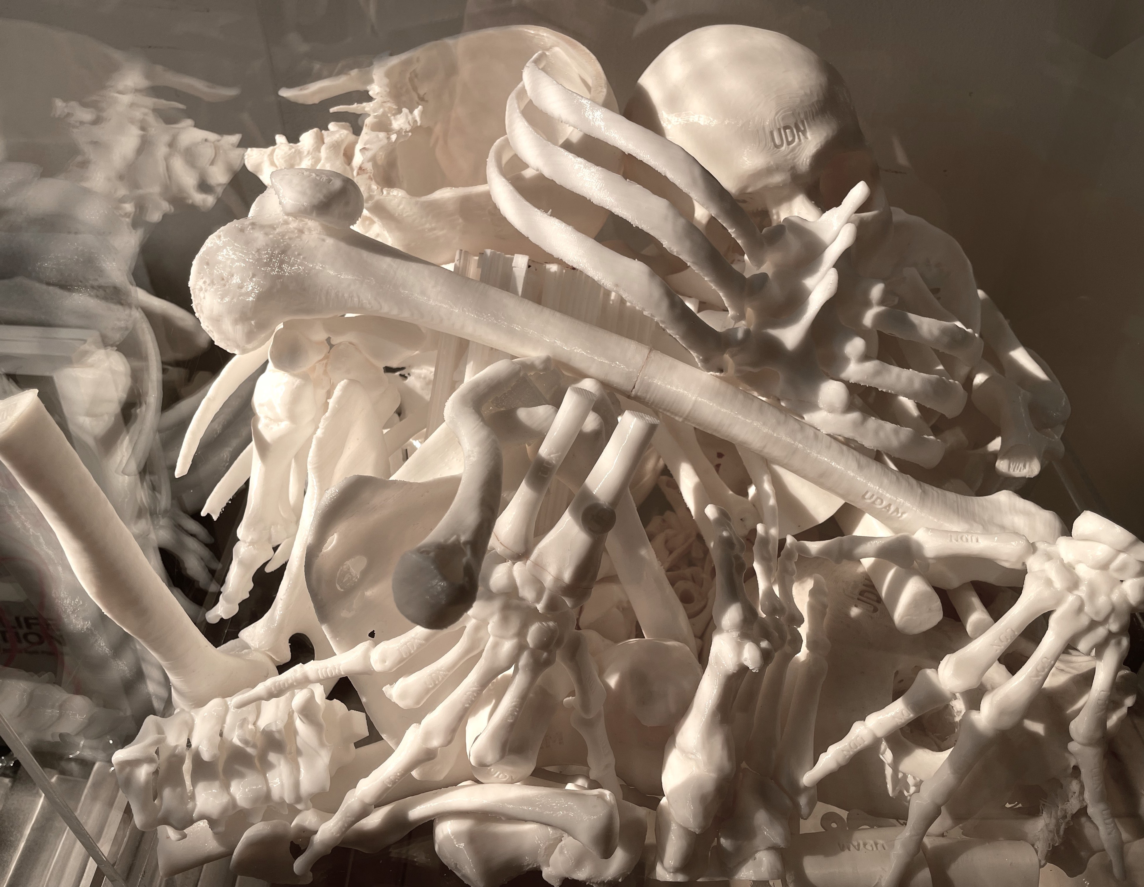
I made a sculpture of my entire skeleton from my body's CAT-scanned data. I then sculpted my initial UDN (UuDam Nguyen) on the bones. They are ready to be distributed digitally to all 200 countries of the world as proof that I had lived there, therefore, I have the right to conquer it if I wish.
Completed in 2019 and debuted at OCMA — USA.


Phase #4


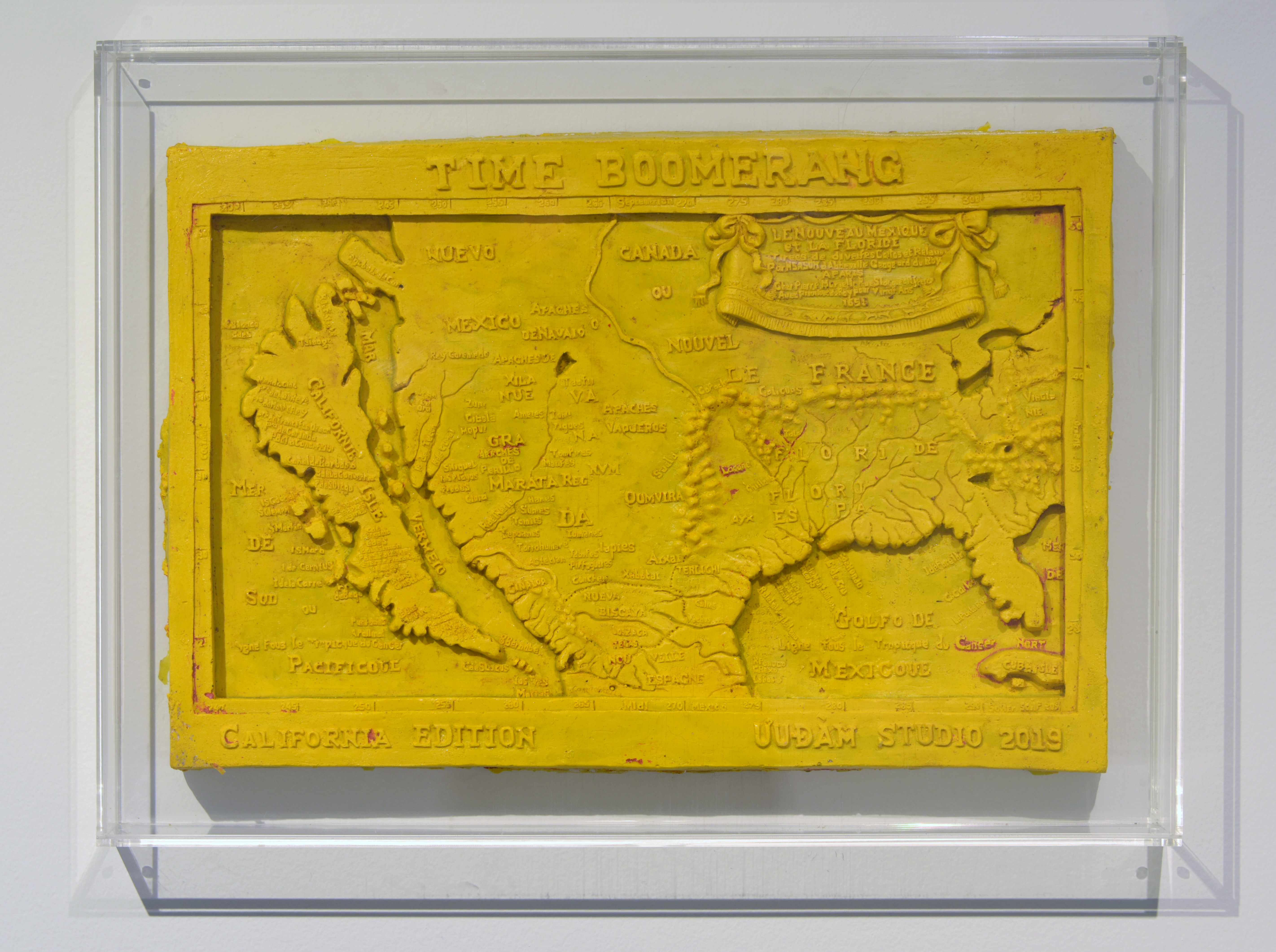
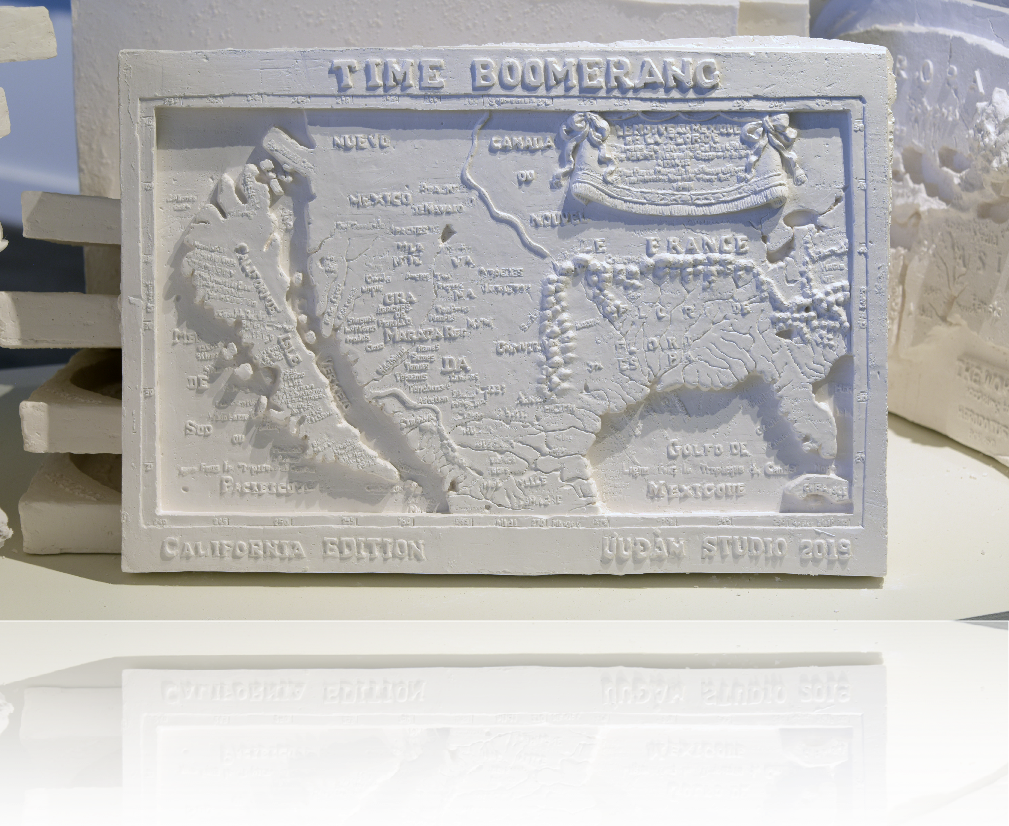
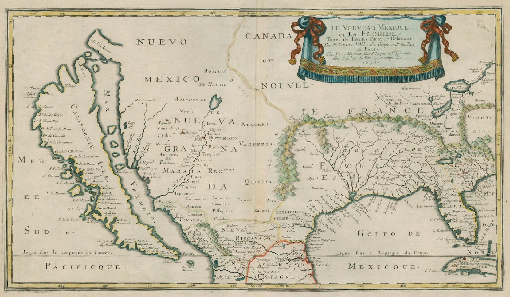
Le Nouveau Mexique, et la Floride — Drawn by Nicolas Sanson, 1656. He envisioned California as an island.

Curator: Fang Yen Hsiang
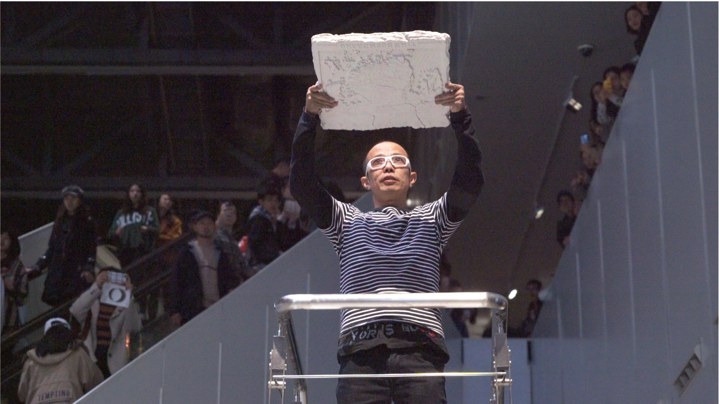
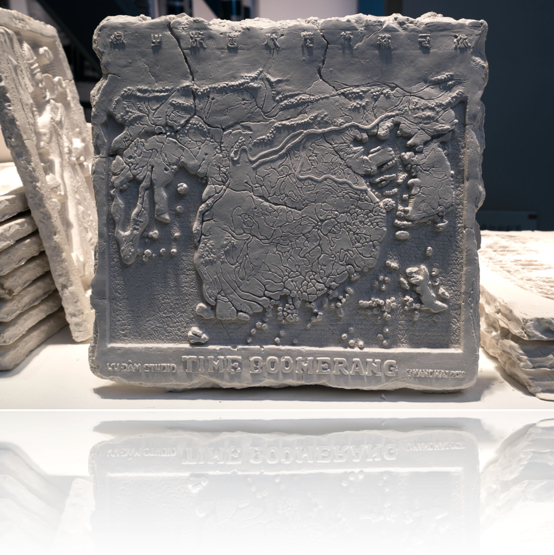
Introducing 2 new carved China maps in the 16th century: The Da Ming Hunyi Tu map (大明混一圖) (silk) (1402) and the Wu bei zhi (Woodblock map in book form) (1594–1640).


Japan Edition 2017
Curator: Mami Kataoka
UUDAM STUDIO PRESENTS:
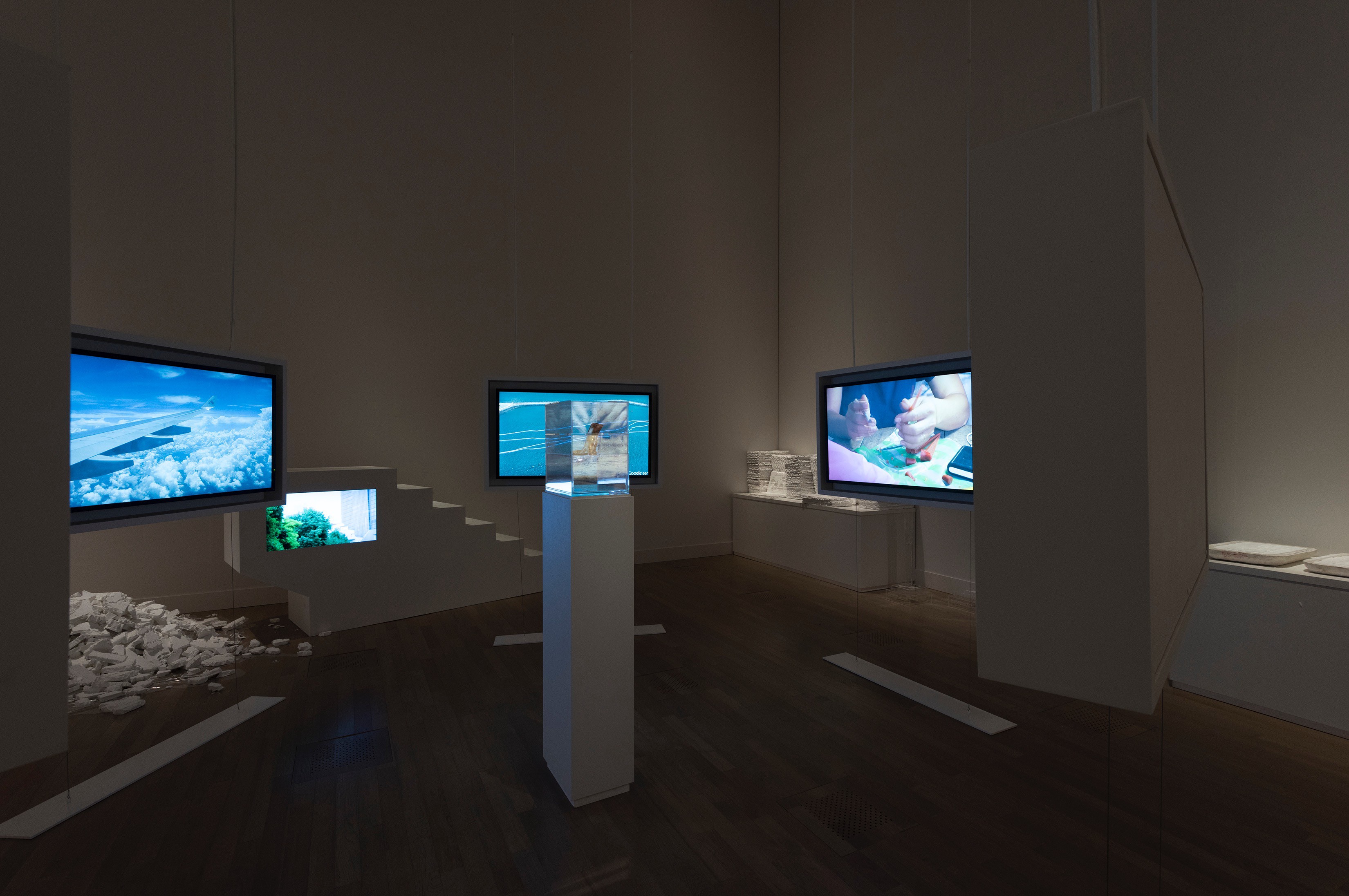
Phase #1: The Real Distances of Things Being Measured
Phase #2: The New Conqueror with a Good Passport (2 parts out of 5)
Phase #4: Cartography 101: Creating the New Freaking World Order
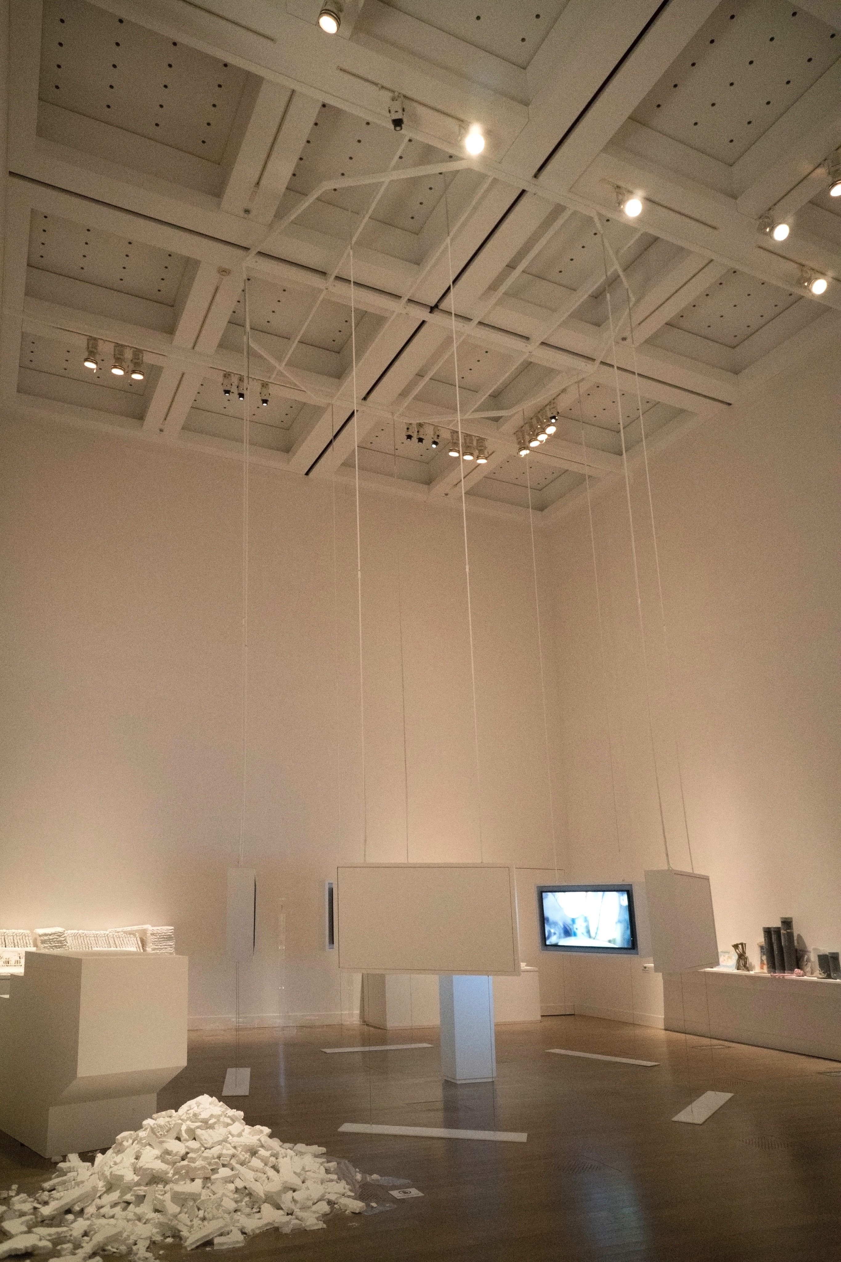
Installation view: SUNSHOWER — Contemporary Art from Southeast Asia 1980s to Now.
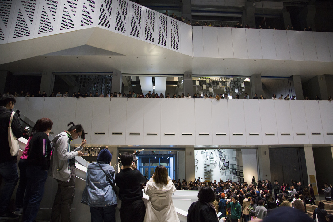
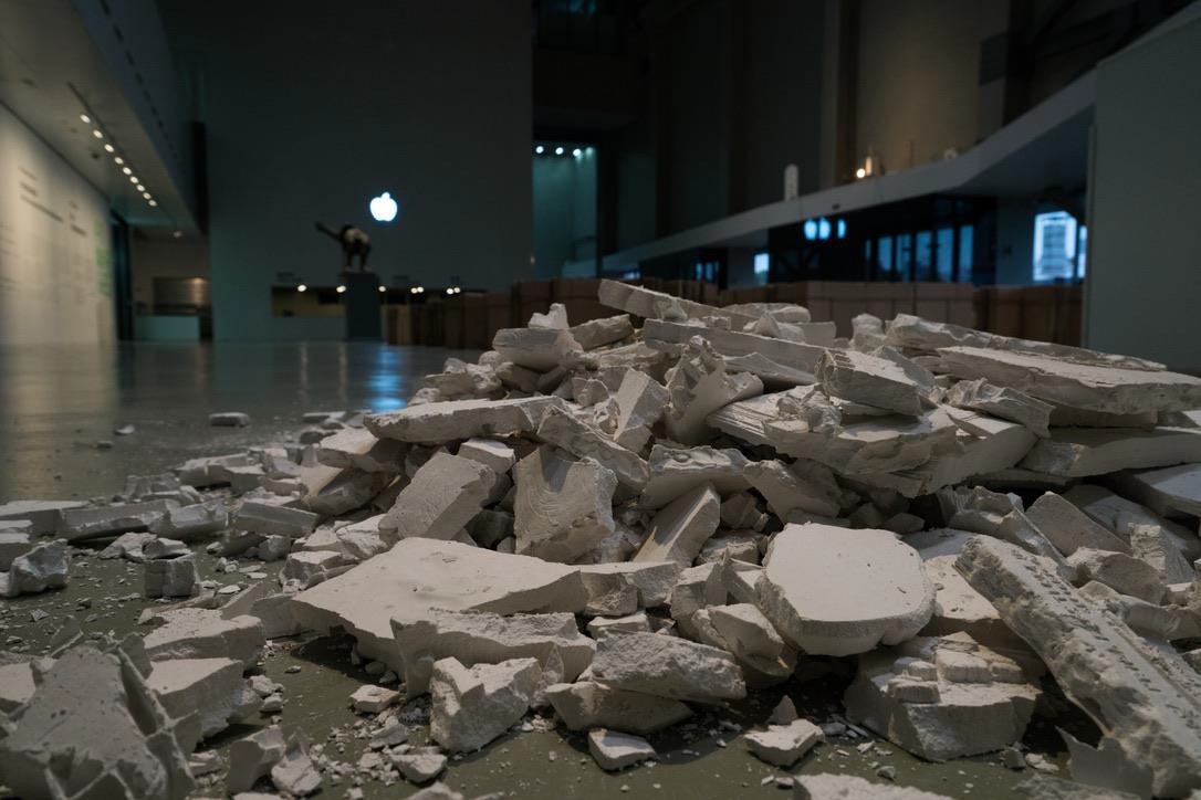
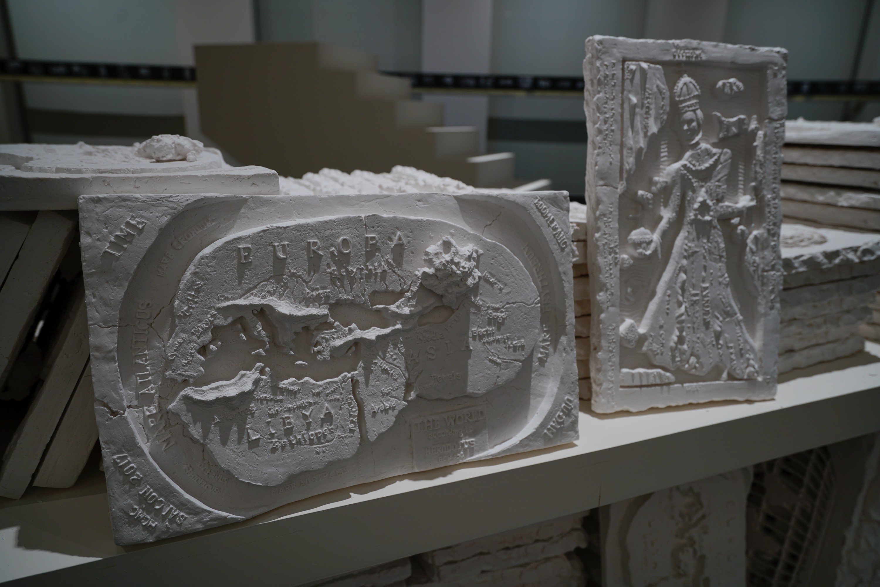
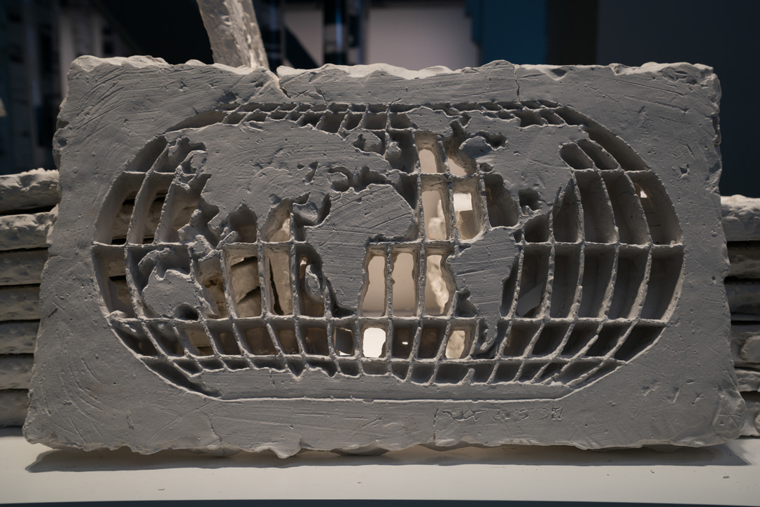
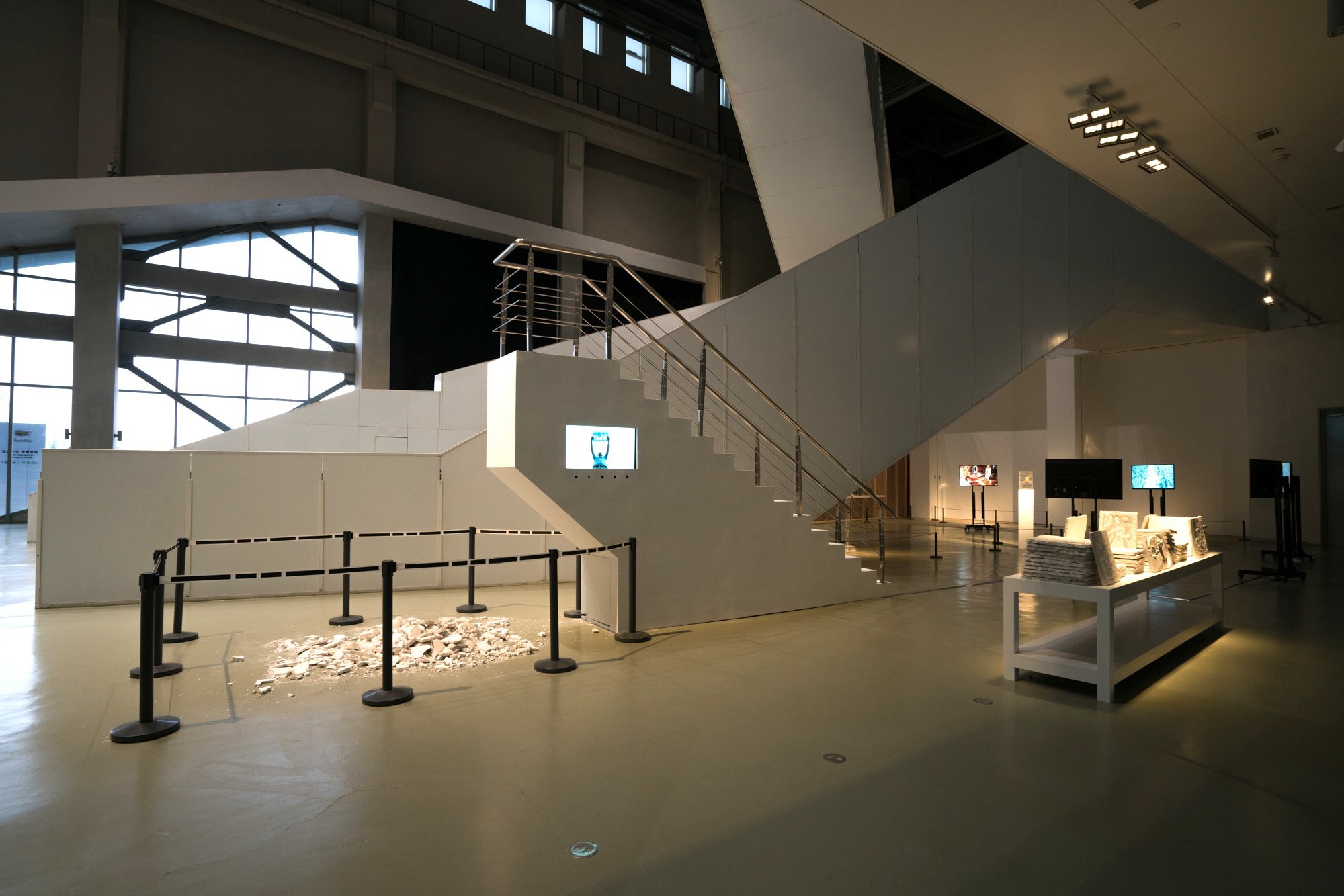
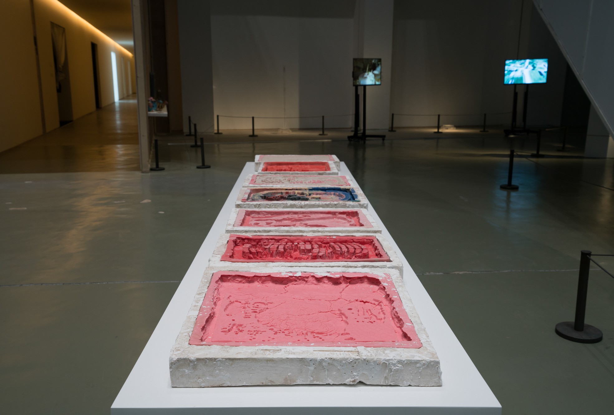
Phase #4 Details: The installation featured 140 plaster cast of upside-down world maps, where about 60 were broken by visitors during the Tokyo performance. Also displayed were 5 silicon molds used for casting the 150 plaster maps and 6 accompanying videos.


National Art Center Tokyo, 2017.


5 launching tubes · 5 pedestals · 5 fingertips · 5 for 5 continents


Coming Next
Africa Edition — 2026 | Antarctica Edition — 2027


Video of TIME BOOMERANG Installation at Shanghai Biennale
THANK YOU!
Please see past works below.